History
The History of Lake Hodges
Hodges Reservoir was created with the building of Hodges Dam on the San Dieguito River in 1918. The City of San Diego purchased the dam and reservoir in 1925. Operated and maintained by the City of San Diego’s Public Utilities Department, the reservoir currently serves the San Dieguito Water District and Santa Fe Irrigation District, as well as the city. When full, the reservoir has 1,234 surface acres, a maximum water depth of 115 feet and 27 shoreline miles. Hodges Reservoir has a water storage capacity of 30,251 acre-feet.
The water level elevation in the lake is maintained at a maximum of 275 feet above sea level, 40 feet lower than the dam’s spillway, which is 315 ft above sea level, to ensure safe operations. The lake level can fluctuate significantly, depending upon the amount of runoff received from the upstream catchment area. The current water level for Lake Hodges can be found here.
The watershed area upstream of Lake Hodges Reservoir spans 350 square miles. The headwaters of the San Dieguito River are at an elevation of 5,500 feet on Vulcan Mountain near Julian. Land uses across the watershed are diverse: dense urban and commercial development, agriculture, rural communities, open space preserves, and National Forest lands.
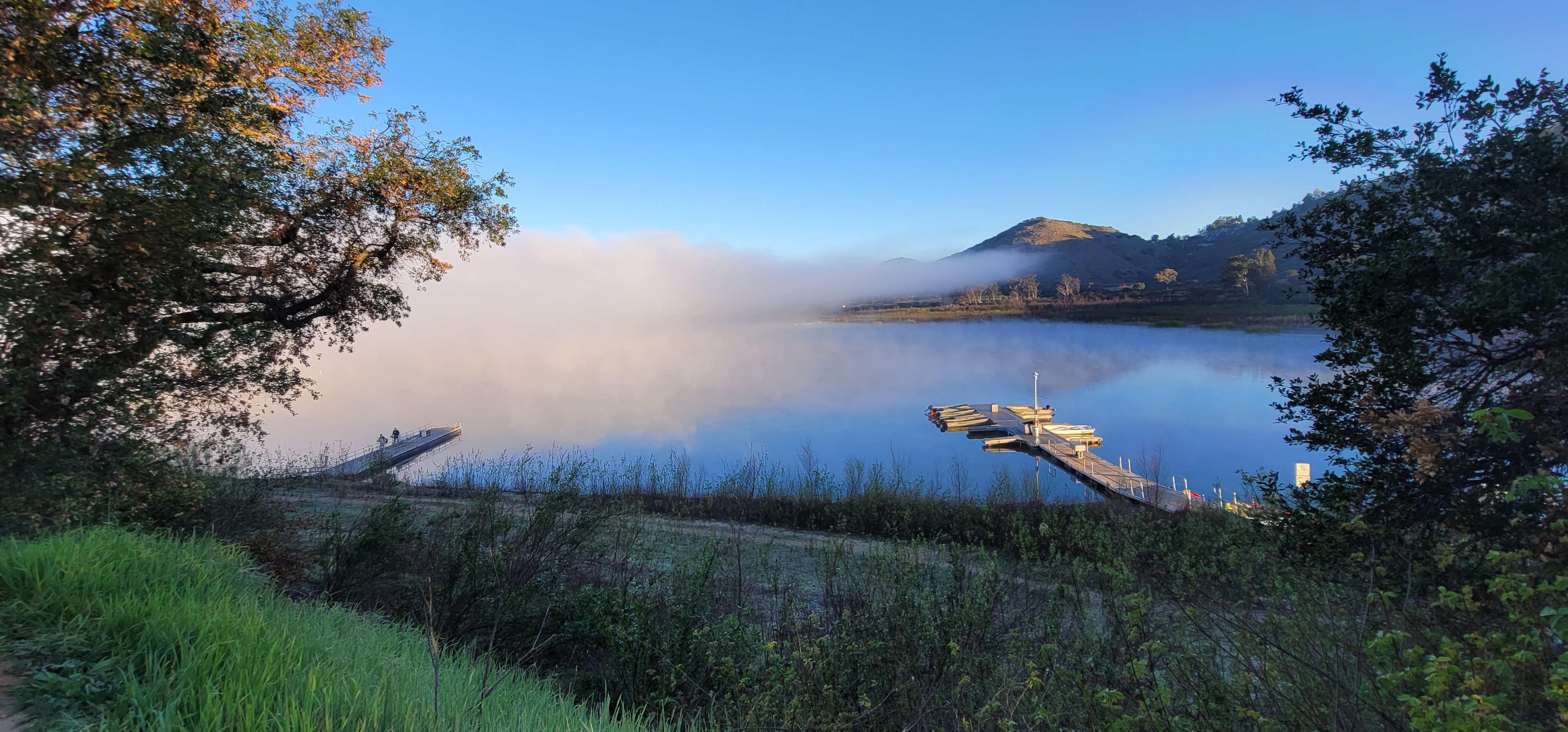
Lake Hodges is surrounded by the San Dieguito River Park and is a nationally recognized birding area. Lake Hodges is the home to many aquatic birds, which would otherwise have a difficult time finding habitat in this dry region and benefit greatly from the three-month closure of the lake each winter.
When full, the reservoir has 1,234 surface acres, a maximum water depth of 115 feet and 27 shoreline miles.